


Updated Monday, Jan. 8, 5 p.m.
Public school districts in Johnson County began canceling classes for Tuesday, Jan. 9, as a winter storm was expected to strengthen Monday evening, potentially leaving up to a half-foot or more in the Kansas City region.
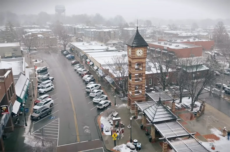
Blue Valley, Shawnee Mission, Olathe and USD 232 in De Soto all announced Monday that their district facilities would be closed Tuesday in anticipation of inclement weather.
Shawnee Mission is following “Plan B”
Shawnee Mission School District Superintendent Michelle Hubbard made the announcement with the help of some students in a post on X.
Snow day tomorrow! Stay safe. More info from district coming soon! @theSMSD pic.twitter.com/hGu98qz3Tc
— Dr. Michelle Hubbard (@DrMJHubb) January 8, 2024
The district says it is following “Plan B” of its inclement weather protocol, which means all classes will be canceled but daycare services will still be in operation at Benninghoven, Comanche, Highlands and Trailwood elementary schools.
A decision about after-school activities likes sports practices will be made later on Tuesday, the district’s protocol says.
Other districts cancel to help families plan for tomorrow
Two of Johnson County’s other big public school districts also canceled classes Tuesday in preemptive announcements Monday.
In its announcement, USD 232 in De Soto made the call Monday “to give families a chance to plan accordingly.”
Blue Valley also announced Monday it was canceling classes, too. According to the district’s inclement weather plan, there is no remote learning when classes are canceled and decisions about after-school activities will be made later in the day Tuesday.
Olathe became the last major Johnson County district to announce a closure on Tuesday, saying all classes and daycare activities would be canceled.
Update: Jan. 8, 1:30 p.m.
Johnson County was included in a growing area of the greater Kansas City region placed under a winter storm warning Monday afternoon.
The National Weather Service’s Kansas City field office said total snow accumulations of four to seven inches of snow were possible in the area now under the warning.
The winter storm warning is in effect until 6 p.m. Tuesday.
The announcement prompted a wave of cancellations by local schools and some businesses as snow was expected to pick up later Monday evening into Tuesday morning.
“Snow is continuing to develop across the area. Late this afternoon into the evening, snow is expected to accumulate on area roadways making travel difficult,” the National Weather Service said on X early Monday afternoon.
“Allow extra time if must travel and extra space between you and the other traffic around you,” the message added.
Still, forecasters cautioned that snowfall totals and the exact timing of the snow over the next 24 hours remained uncertain.
Johnson County school districts cancel Monday activities
Local public school districts also began canceling after-school and extracurricular activities Monday.
The Shawnee Mission School District announced all after-school activities Monday, including team practices and sporting events, would be canceled but that the regular board of education meeting would proceed as scheduled, starting at 6 p.m.
Olathe Public Schools and USD 232 in De Soto also announced the cancelation of all after-school activities on Monday.
Several Blue Valley schools also posted to X that the district had canceled after-school activities for Monday.
As of Monday afternoon, no Johnson County school district had announce a cancelation of classes Tuesday, though some hinted at the possibility.
Also Monday, the Lenexa Public Market announced it would close operations at 5 p.m. Monday.
We’re closing early at 5 p.m. today, January 8, due to inclement weather. Please visit our website at https://t.co/Ua7SlHokzb for possible weather-related Market delays and closures this week. pic.twitter.com/k5etuP8ceL
— Lenexa Public Market (@LenexaPublicMkt) January 8, 2024
Original story continues below:
Johnson County cities are taking steps to prepare for a winter storm that is expected to roll into the Kansas City region Monday afternoon and linger through Tuesday evening.
But uncertainty remains about how much snow Johnson County will receive and when exactly the snow will start falling.
The latest forecast from the National Weather Service’s Kansas City field office shows Johnson County could get up to three to six inches of snowfall, but the county falls into a band of territory in the region where this is the “greatest uncertainty” about snowfall totals.
Rain and rain/snow mix transitions to snow Mon. afternoon and overnight. There’s uncertainty in the timing of the transition, especially in the circled area. Transitioning earlier means amounts on the higher end of the range, while a slower transition means lower end amounts.
— NWS Kansas City (@NWSKansasCity) January 7, 2024
The National Weather Service’s latest weather briefing issued Sunday night also expresses uncertainty about when exactly rain will transition to snow in the Kansas City area.
A winter weather advisory takes effect in Johnson County and much of the Kansas City region starting at noon Monday and lasts through 6 p.m. Tuesday.
Here’s what you need to know to get ready:
How much snow will we get?
- That’s not totally clear. The National Weather Service’s latest forecast puts Johnson County in a band of territory that could receive up to three to six inches of snow in some parts of the county.
With the oncoming winter storm, higher snowfall remains north of Hwy 36, w/ rain/snow mix south of this corridor. Warm surface temperatures could inhibit snowfall sticking to the ground, but travel hazards still exist with blowing snow. pic.twitter.com/y8uyt8y6J0
— NWS Kansas City (@NWSKansasCity) January 8, 2024
- Predicted snow totals are higher the further north you go, with northeast Johnson County falling into an area expected to get more snow than southern Johnson County, which is in a band of territory predicted to receive one to four inches.
- Johnson County is squarely in an area of the metro where the “greatest uncertainty” remains about snow totals due to uncertainty around the timing of when rain on Monday will transition to snow.
- What is more certain is that areas north of Kansas City, around St. Joseph and further north, are expected to get hit much harder.
When will it start snowing?
- That also is not certain, which is what is making predicting this storm challenging, according to the National Weather Service.
- That latest forecast shows Johnson County and much of the Kansas City area should expect rain for much of the day Monday.
- That’s expected to transition to snow Monday evening, with snowfall continuing through at least noon on Tuesday.
Snow will dominate north of Hwy 36, with higher likelihood of rain/snow southward. By late Monday, expect primarily snowfall across the region. Stay up to date with evolving weather conditions, and be cautious of poor travel conditions! pic.twitter.com/cz81PUa9kD
— NWS Kansas City (@NWSKansasCity) January 8, 2024
- Just as with the snowfall totals, the National Weather Service’s confidence in the timing of the storm is highest for areas north of Kansas City and less so in Johnson County and the metro.
What should I do?
- The National Weather Service says even if the onset of the storm Monday does “not seem indicative of winter weather,” you should still be cautious.
- Plan on encountering slippery road conditions, blowing snow and significantly reduced visibility if you’re going out or commuting to work, especially Monday evening and Tuesday morning.
- You can check the National Weather Service’s latest updates on X or call 5-1-1 for the latest information and forecasts.
How are Johnson County cities preparing?
- Overland Park city spokesperson Meg Ralph said the city, which just approved the purchase a new snow trucks, held off on pretreating roads Sunday to avoid having the “treating materials washed away in the [Monday] morning rain.”
- Snow crews are expected to be out in Overland Park Monday, ready to treat and begin plowing streets once rain transitions to snow.
- In Shawnee, full night crews are expected to report for duty at 7 p.m. Monday to be ready to treat roads once snow begins falling, according to an emailed statement from city spokesperson Doug Donahoo.
- In Lenexa, 12-hour snow crew shifts are planning to start Monday at noon with crews expected to work “round the clock to make sure Lenexa’s streets are clear,” according to city spokesperson Denise Rendina. If snow begins earlier than anticipated, crews’ shifts could begin earlier, she said.